Home / Mumbai / Mumbai News / Photos /
In Photos: Monsoon to hit Mumbai after June 16
Updated On: 13 June, 2023 09:27 AM IST | Editor
The much-awaited monsoon winds have started advancing towards the Konkan region, but will take a few more days to reach Mumbai, meteorologists have predicted. The delay in their advancement over the north Konkan region is likely caused due to Cyclone Biparjoy moving north.





 01
01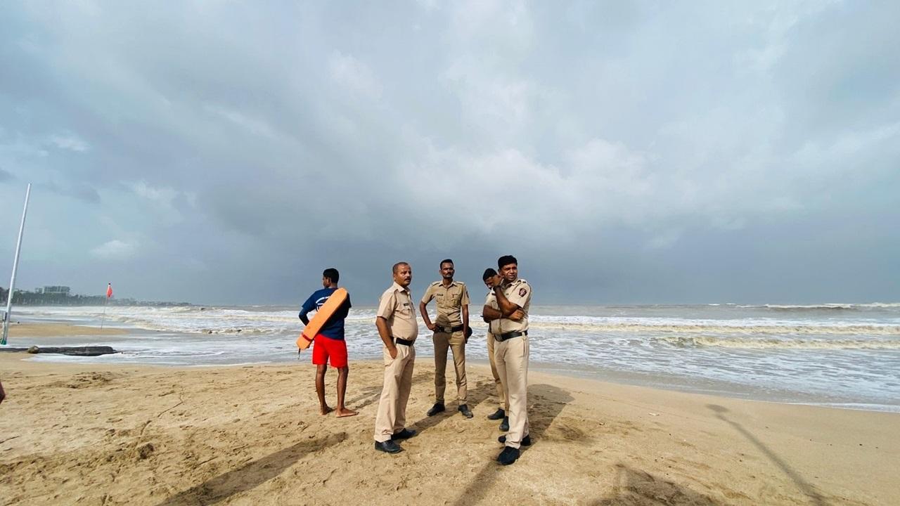 02
02
Climatologist Rajesh Kapadia from private blog Vagaries of Weather said, “The cyclone (Biparjoy) is moving inland, disturbing the gradient along the West Coast, thus delaying the monsoon advancement beyond south Konkan.” According to Kapadia, the pre-monsoon showers will continue, but their intensity will reduce after Wednesday. “Mumbai may see the onset of monsoon after June 16,” he said, adding that the water level in lakes is currently at 11 per cent, which will last for a month. Pic/Shadab Khan
03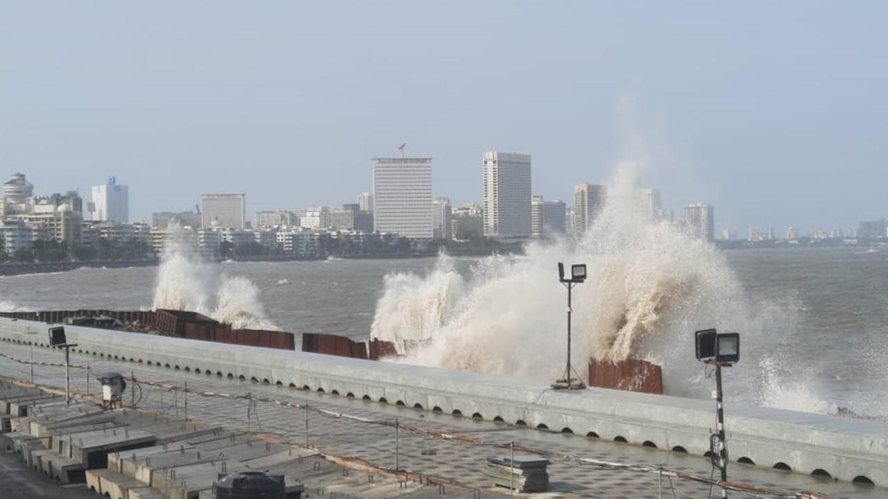
According to private forecasting agency Skymet Weather Services, after the onset over Kerala on June 8, the monsoon westerly stream rapidly travelled along the coast to go past Goa and reached Ratnagiri on June 11. “Cyclone Biparjoy is moving northward very slowly and is likely to change course northeastward in the next 24 hours. It will make landfall on June 15 near the Indo-Pak border. Pic/Pradeep Dhivar
04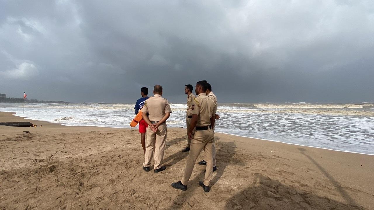
The northern limit of monsoon (NLM) will also move along with the storm, getting dragged to cover the Konkan region and even ingress south Gujarat in the next two to three days,” the Skymet website said. Pic/Shadab Khan
05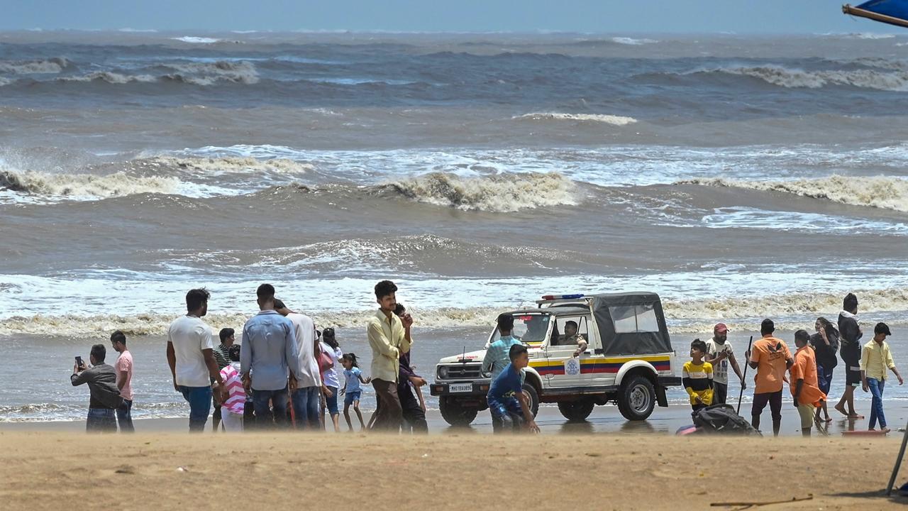
A Skymet meteorologist said the wet spell will help bring down the temperatures to 33–34°C from the current trend of above 38°C. Kapadia added that there will be no major increase in rainfall this week. A distinct absence of the usual thunderstorms is noticed. This is because “multi-layer” clouds are not seen. But thunder activity will soon resume,” he said. Pic/PTI
06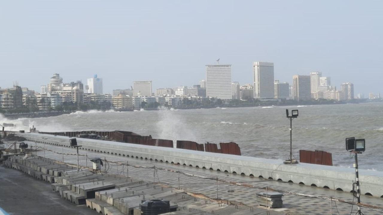
Sushma Nair, a scientist with India Meteorological Department’s (IMD) regional centre at Colaba, said there is a possibility of pre-monsoon rain hitting Mumbai and Maharashtra over the next 24 hours, but Mumbai will not experience very intense showers. “The state is recording a higher temperature and therefore, the possibility of rain can’t be ruled out,” she said. On Monday, the IMD’s Santacruz observatory recorded the city’s maximum temperature at 36.8°C. PIc/Pradeep Dhivar
Recommended Photos
ADVERTISEMENT
ADVERTISEMENT
Photo of Day
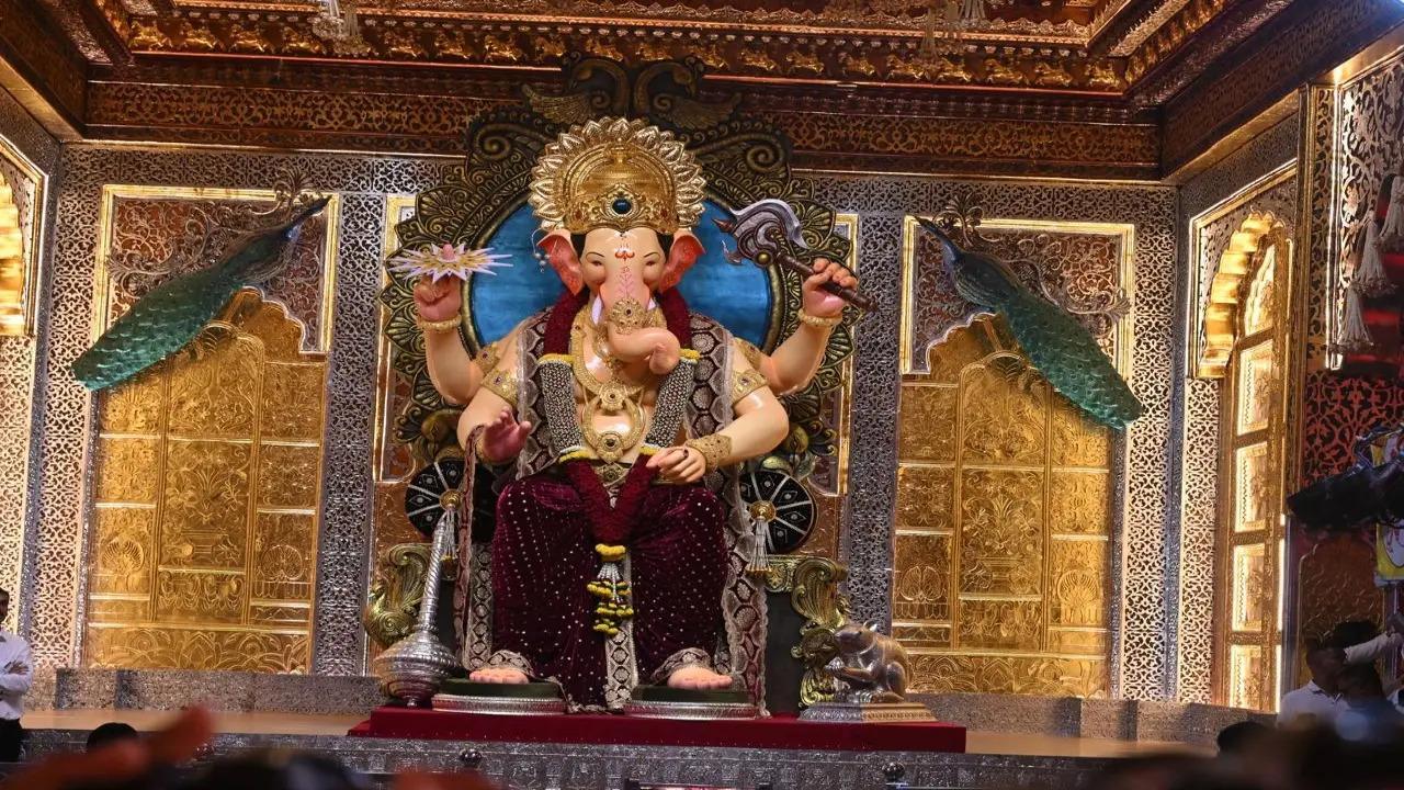
High tidal waves in Mumbai delay Lalbaugcha Raja`s visarjan
The iconic Lalbaugcha Raja idol was shifted onto a raft on Sunday afternoon after delays since morning due to high tide and technical challenges, with final immersion, delayed by several hours, expected to take place around 11 pm, officials said.